Due to the devastating wildfires that hit the area in August 2023, the hiking trails are temporarily not accessible to the public for safety reasons.
Mystical sanctuaries, rare species of avifauna and stories from the lives of the locals of the past make up the Avanda experience.
1
kilometres of trails within the protected area
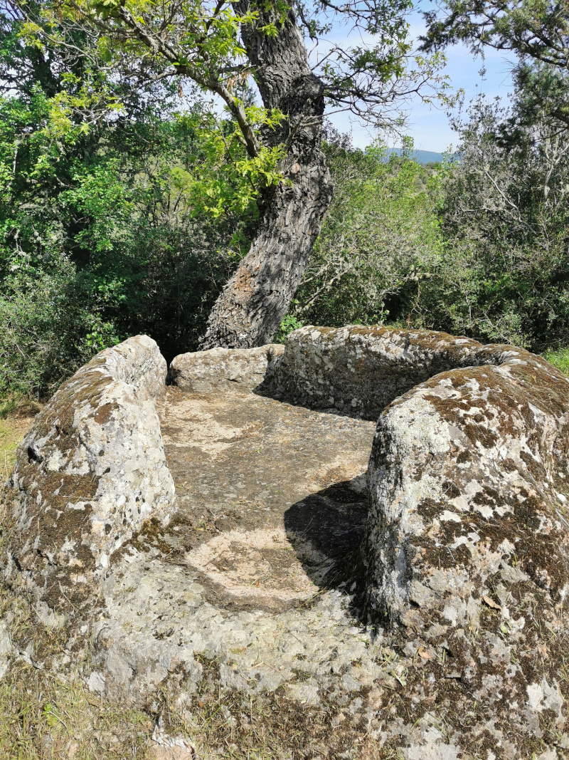
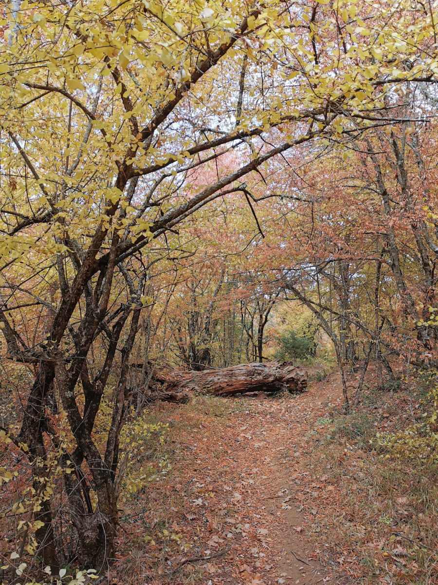
The forest of Avantas contains treasures of nature and man.
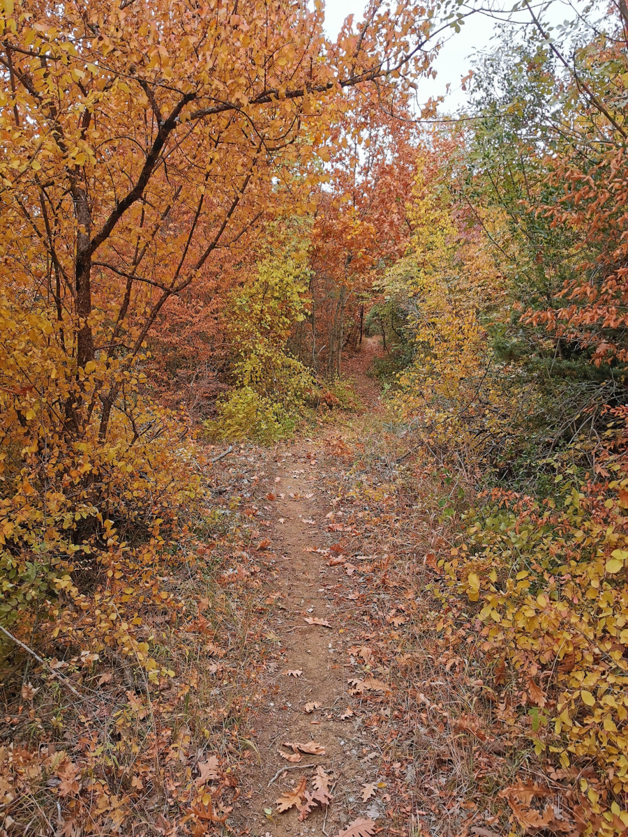
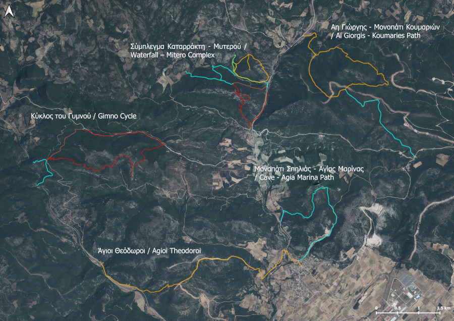
Following the 5 marked trails, you will discover the natural wealth and unique landscapes of the protected area (“Notio Dasiko Symplegma Evrou”, Code: GR1110009).
What are the trails?
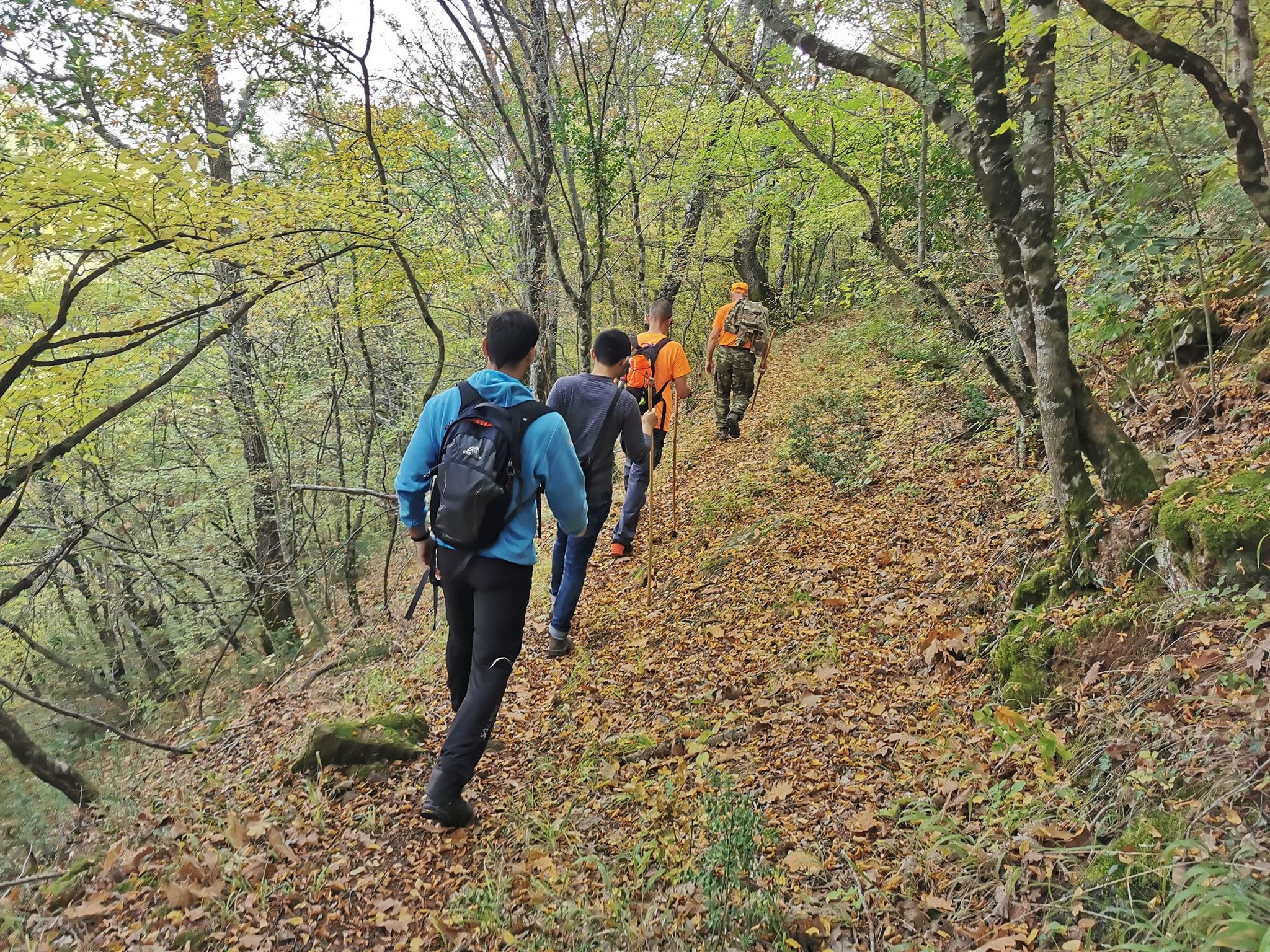
All trails are located northeast of Avanda and cover an area of about 10 square kilometres.
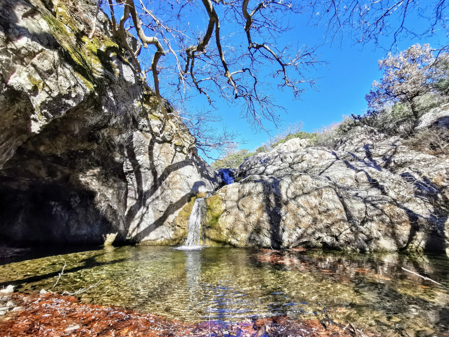
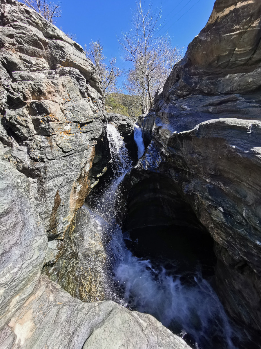
Waterfall – Mitero Complex
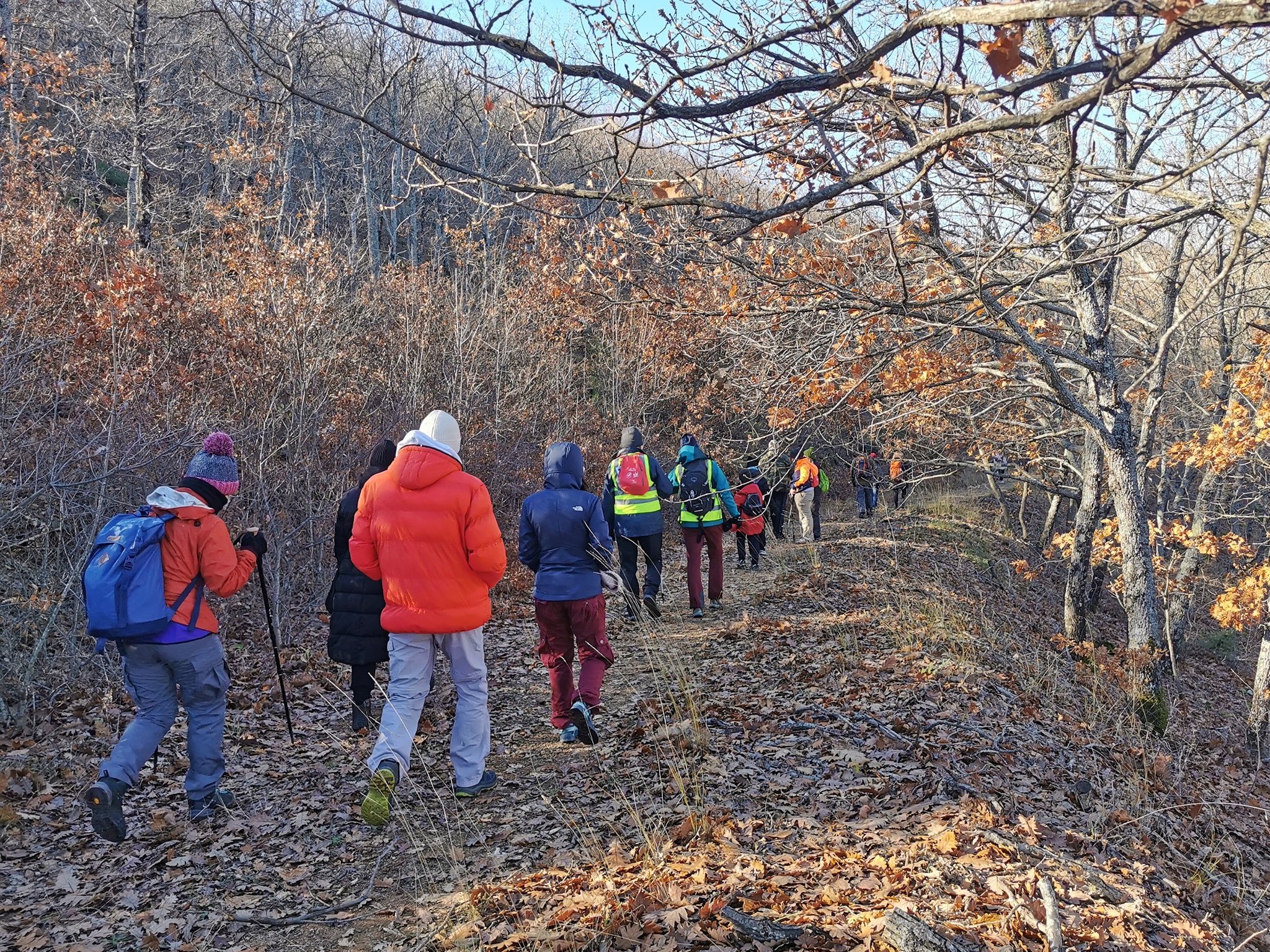
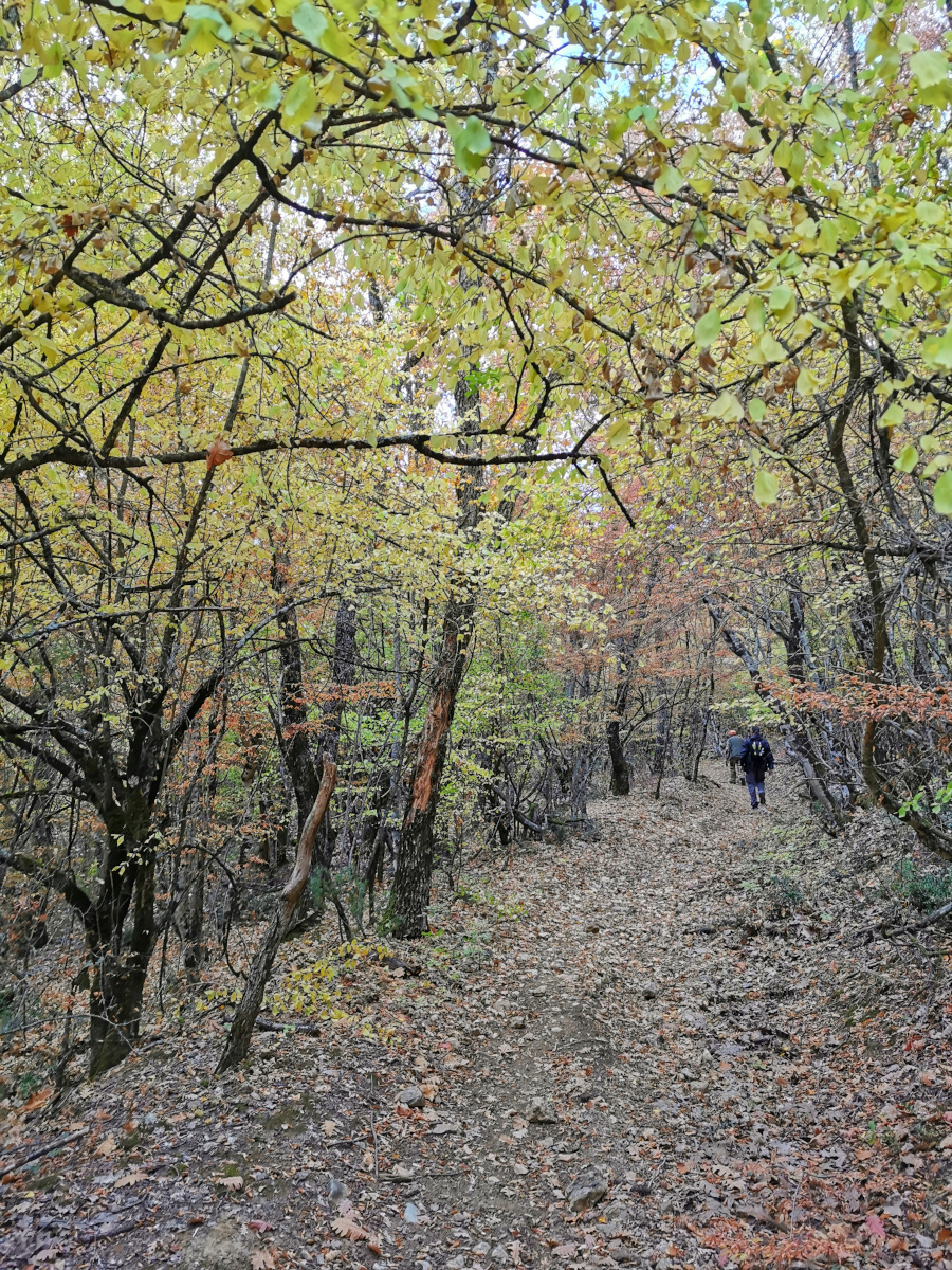
From this point, different paths start, more or less demanding. Cross the heart of the protected area around Avantas and prepare to travel back in time. Follow the trails, enjoy the view, touch and smell the trees and plants you come across and discover the remnants of another era.
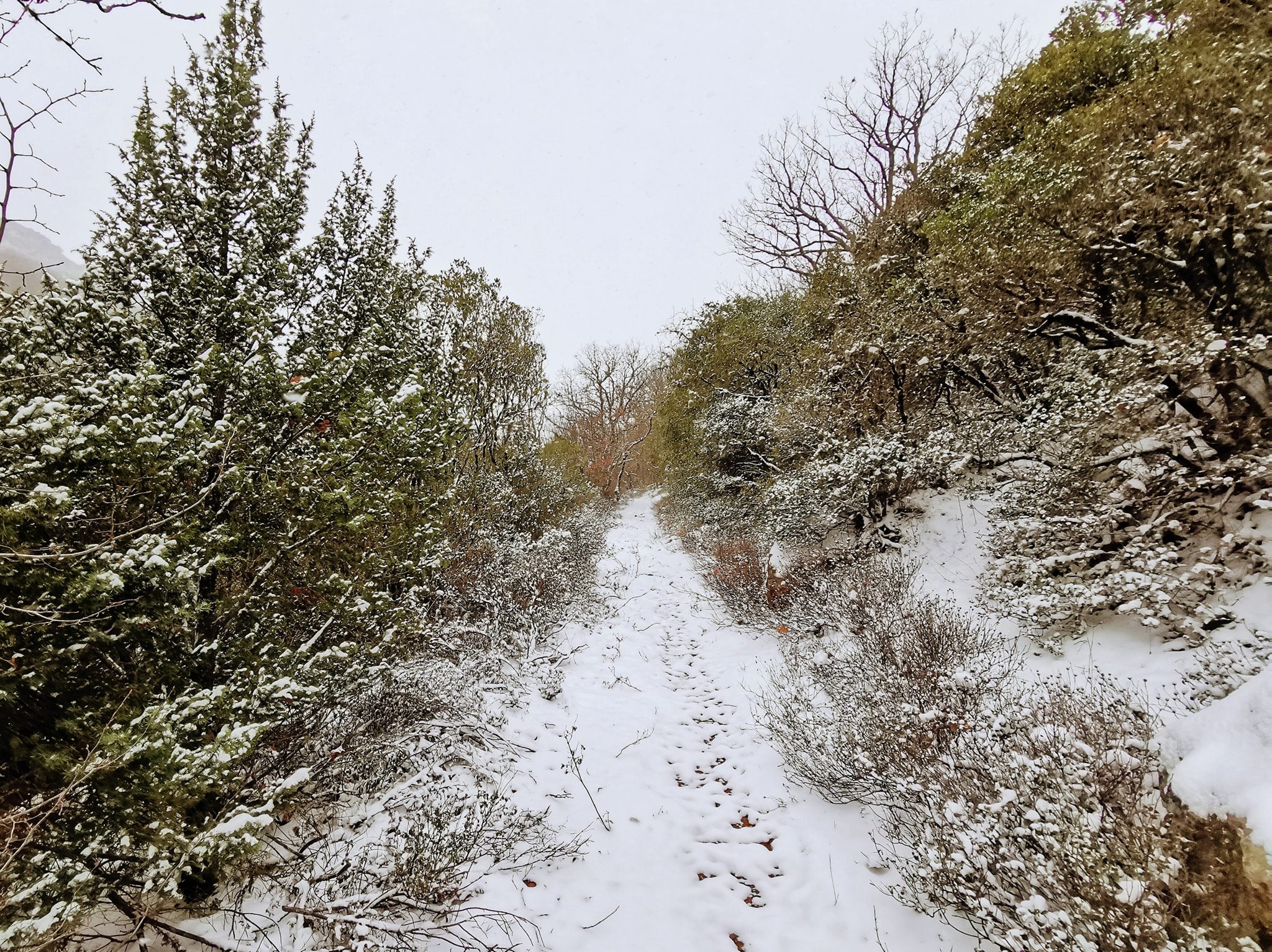
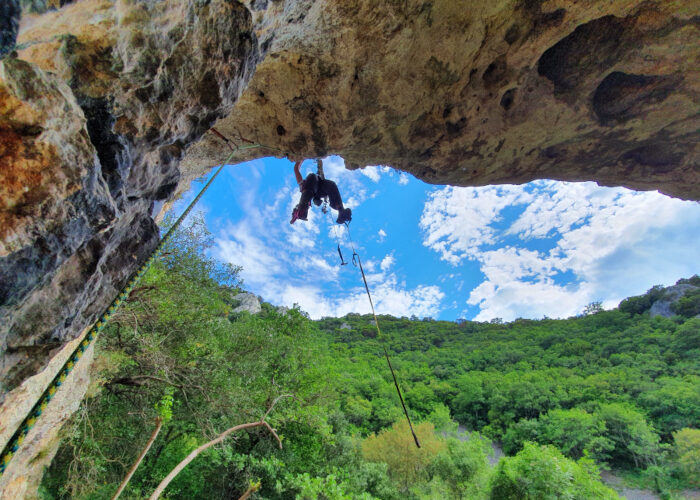
The routes to the summits of Miteros and Aetos are of increased difficulty and are recommended only for experienced hikers. Subject to season, choose the winter or summer trail to go to the waterfall.
Length: 12 km.
Height difference: 180 m.
Duration: 5-6 hours
Difficulty: Moderate (difficult in 2 sections)
Ai Giorgis – Koumaries trail
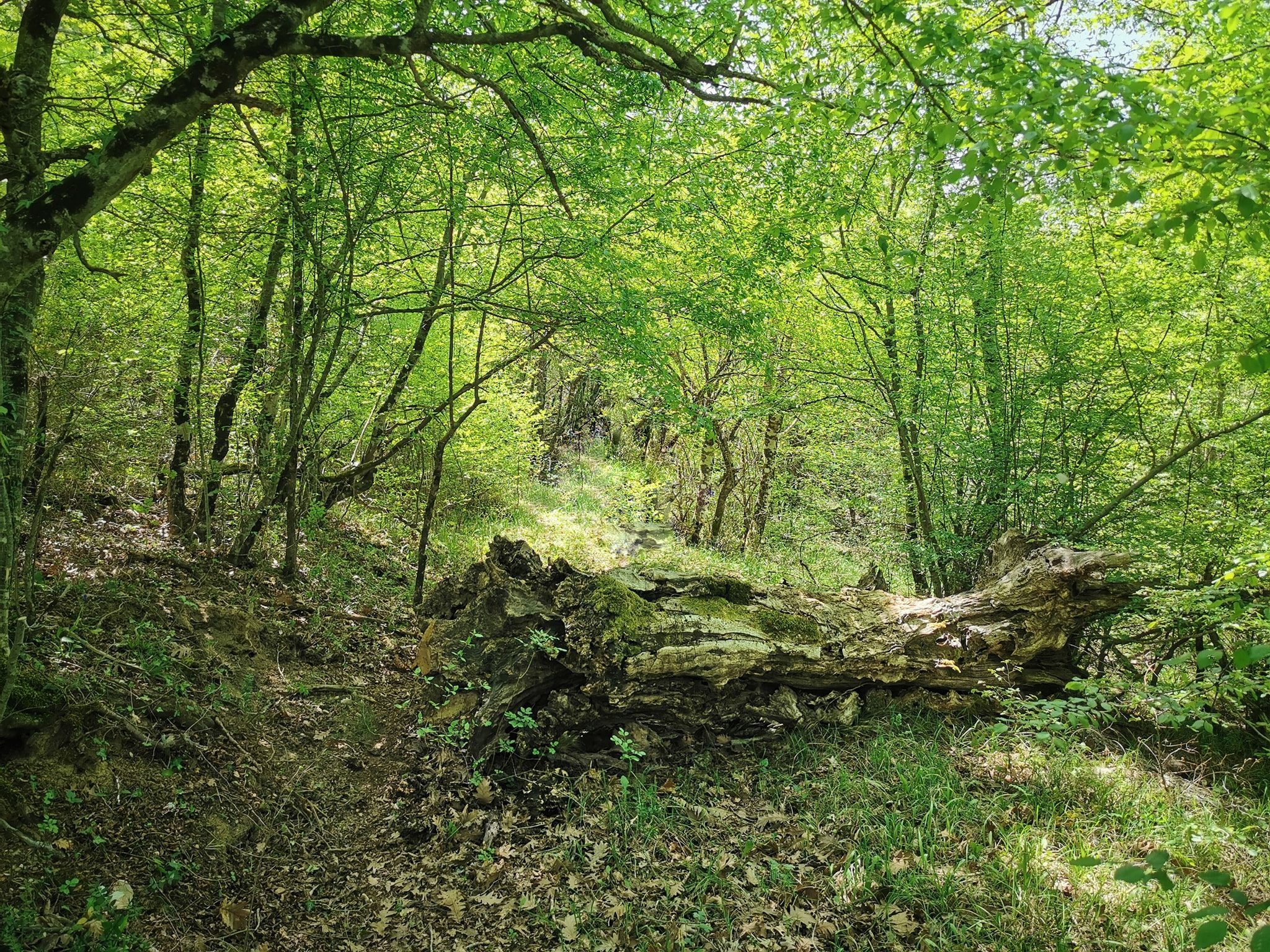
The trail is suitable for an easy and short hike, during which you will get to know the nature of the forest of Avantas. Along the way, you will discover secrets of the local culture and a relaxation area to rest.
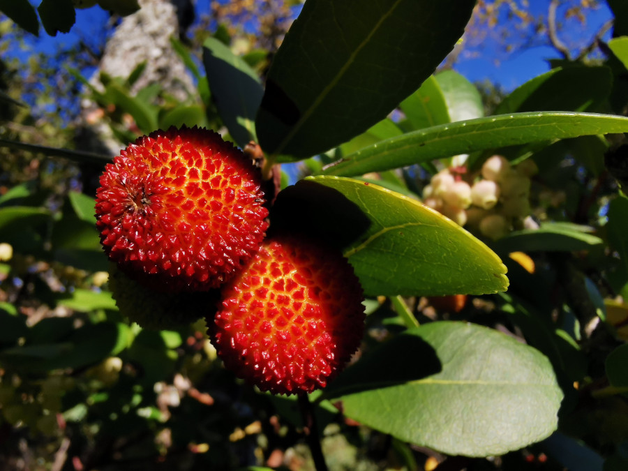
The forest route is known to the locals as the ‘Koumaria Trail’ as during December, they come here to pick delicious “koumara”. At that time, the gourds are filled with crimson fruit that looks like a Christmas ornament, giving the feeling that nature is putting on its festive decorations!
Length: 12 km.
Height difference: 175 m.
Duration: 4-5 hours
Difficulty: Moderate
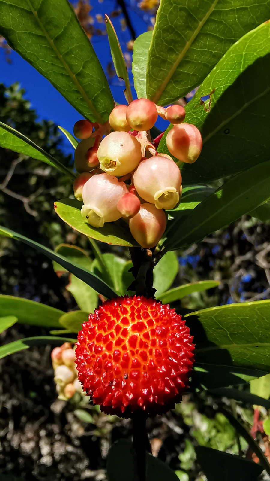
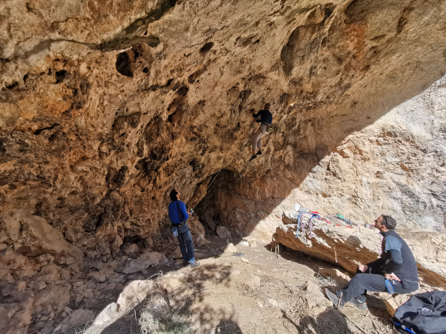
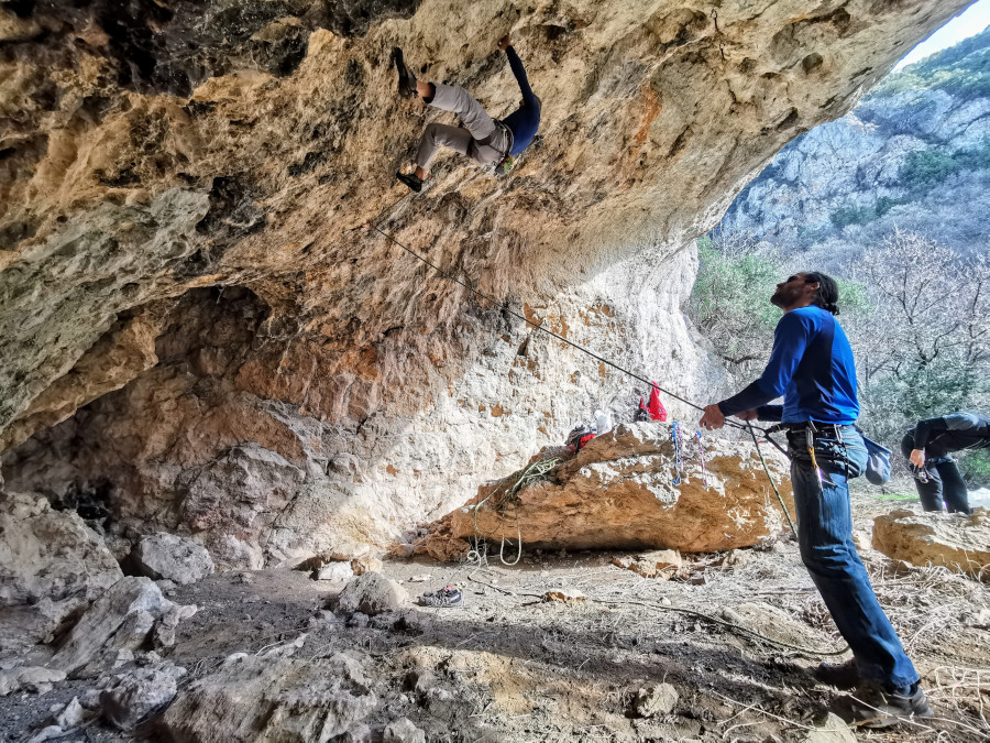
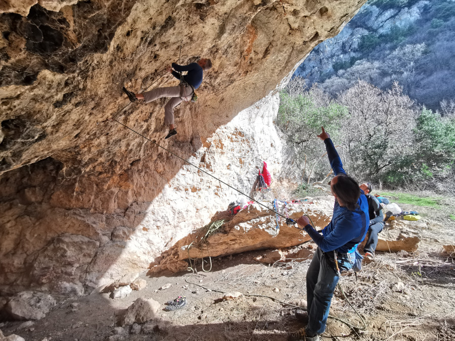
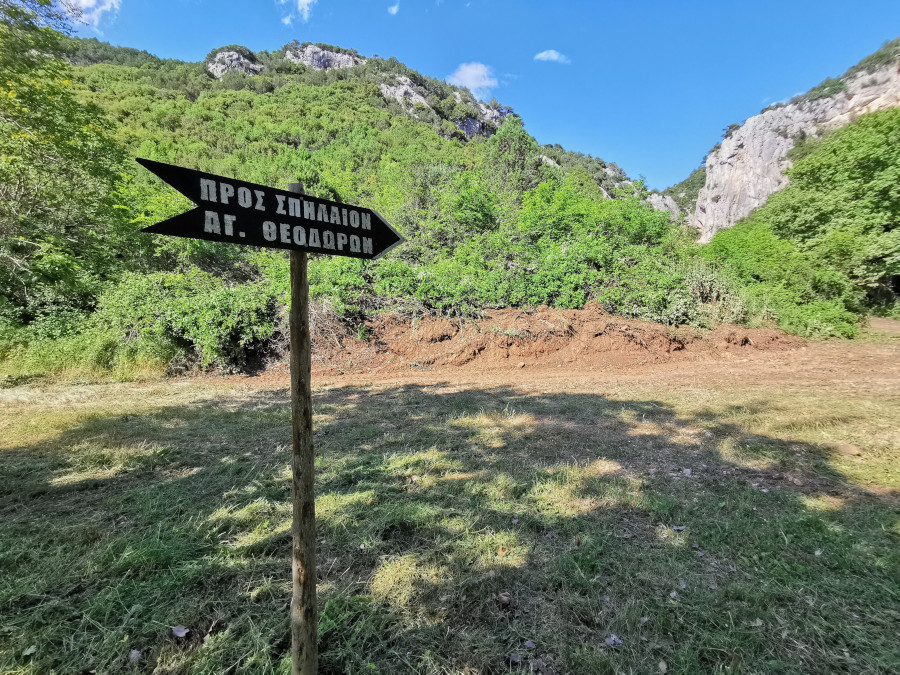
Cave – Agia Marina trail
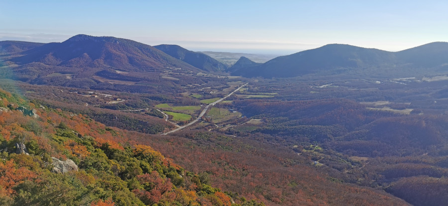
Following the “Cave – Agia Marina Trail”, you will learn about the rocks of Avantas and pass through the cave’s climbing area. On the path, you will come across many Greek strawberry trees. You will distinguish them by their characteristically smooth trunk. You can enjoy the view towards the Evros Delta from the route’s highest point.
Length: 4,2 km.
Height difference: 290 m.
Duration: 2-3 hours
Difficulty: Easy
Agioi Theodoroi
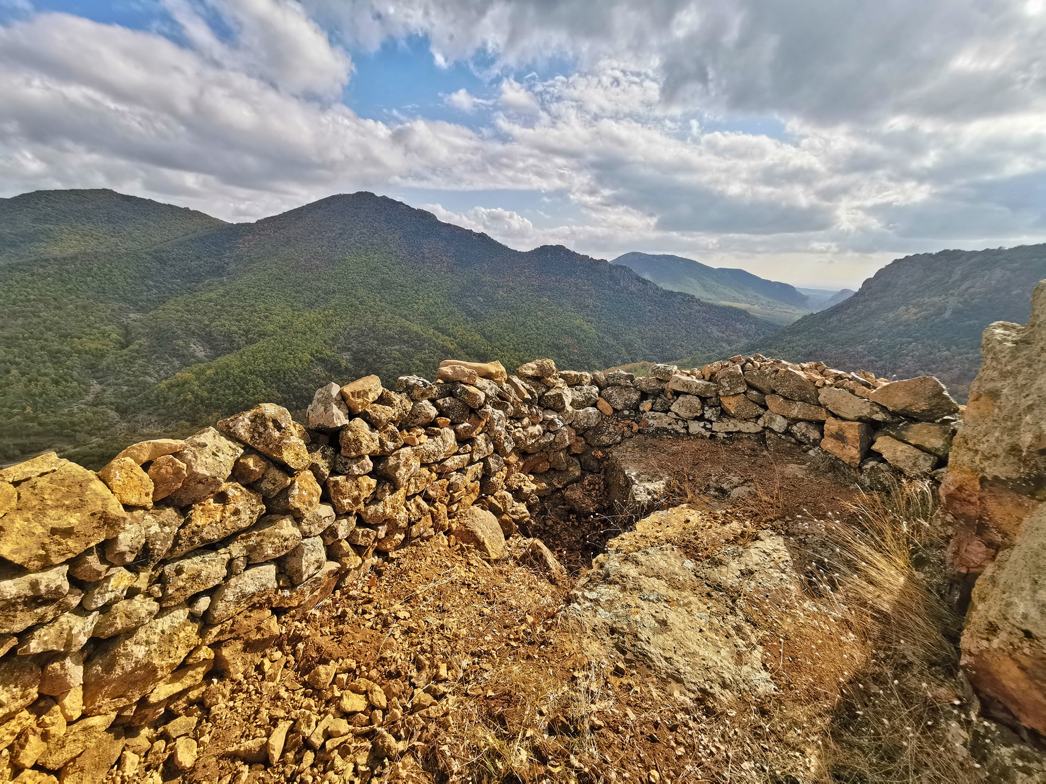
Following an easy route, the trail ends at the impressive temple cave of Agioi Theodoroi. On your way, you will learn about the strategic location of the castle of Avantas while, if you are lucky, you may admire a vulture flying around.
Length: 6,8 km.
Height difference: 210 m.
Duration: 6-7 hours
Difficulty: Moderate
Gymnos Cycle
Following the trail, you will get to know the rich bird life and dense vegetation of the area, the ancient peoples and the myths of the place, while you will come across remnants of the Byzantine castle of Avantas. Most of the forest route is passable with several viewpoints. We recommend caution in the last part of the route, where the terrain is steep.
Length: 9,3 km.
Height difference: 325 m.
Duration: 4 hours
Difficulty: Moderate (difficult in one section)
How to get there
What you should know before you go
The trails are within a protected area.
Respect for the fauna and flora of the area always has a primary role during our presence there.
Depending on the season, make sure to wear appropriate clothes and shoes.
Don’t forget to check the weather!
Organise your visit
Contact the Management Unit to organise your visit.